Welcome to the Madeley Village Website
This site aims to collect village history and information together in one easy to find reference, as well as providing a place for village news and events to be posted.
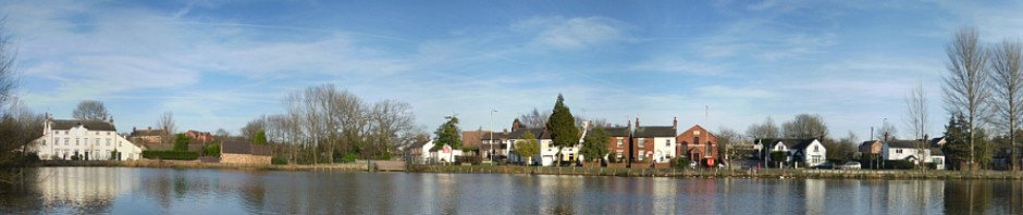
About Madeley
Madeley is a village just inside Staffordshire, between Crewe and Newcastle-under-Lyme, and is on the border between Staffordshire and Cheshire (and close to the Shropshire border too!) It is closest to Newcastle-under-Lyme, and is within the Staffordshire council area and with Stoke-on-Trent area codes (01782), yet it has Crewe (CW3) postcodes!